Jeep Tours
Featured
9 days•The Pamirs
The Pamir Highway: Expedition to the Roof of the World
The Wakhan Valley, high-altitude lakes and the Ak-Baital Pass — a route through the most remote region of Tajikistan.
On request
View Tour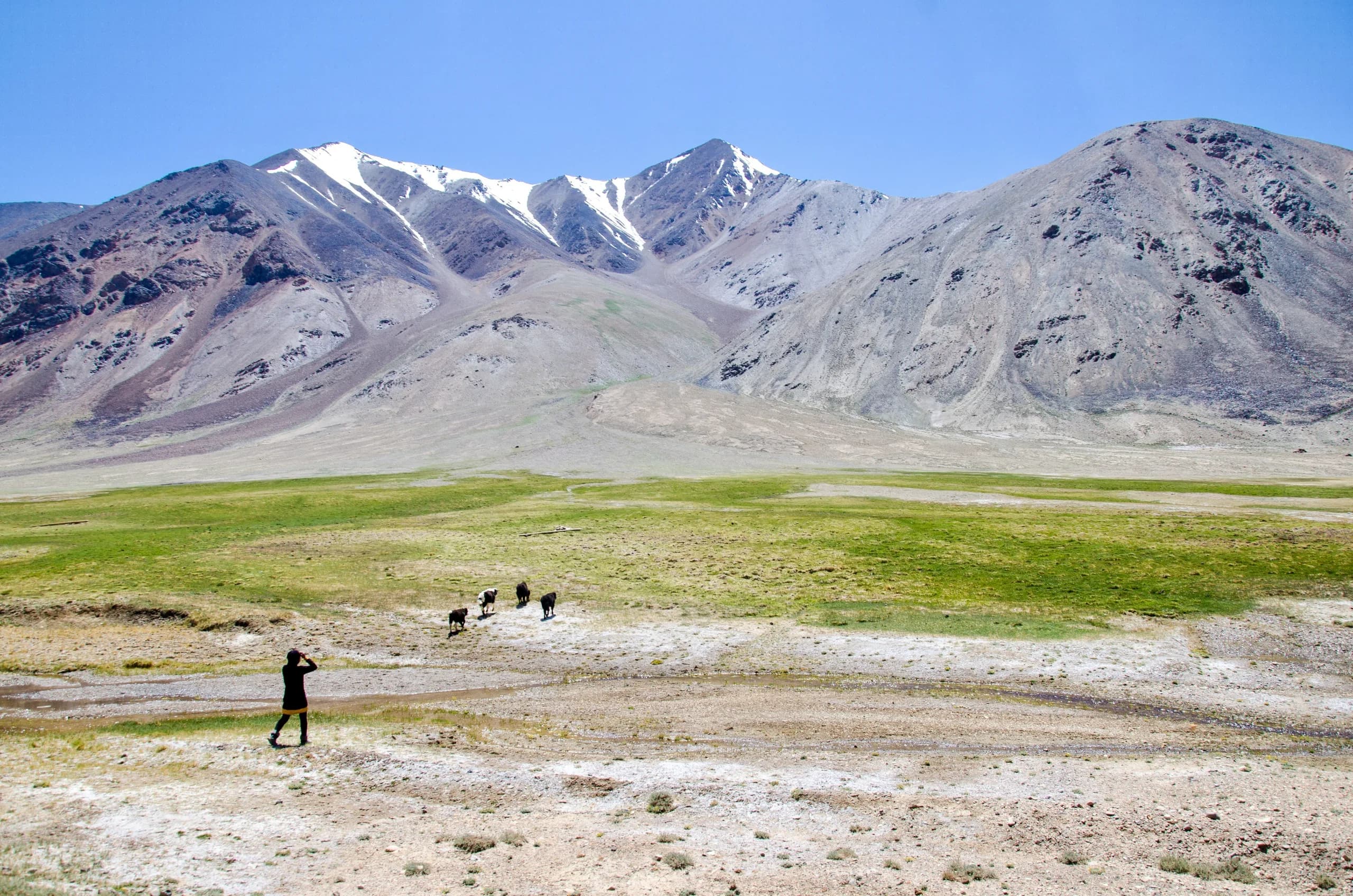
Destination
High plateaus, the legendary Pamir Highway running along the Afghan border, and villages that keep their own traditions and languages.
The Pamirs cover the eastern half of Tajikistan — the Gorno-Badakhshan Autonomous Region, almost half the country's territory. Yet only around 230,000 people live here, just over two percent of the population. Most of them are in the west, along the Panj River. Khorog is the largest town and the regional capital.
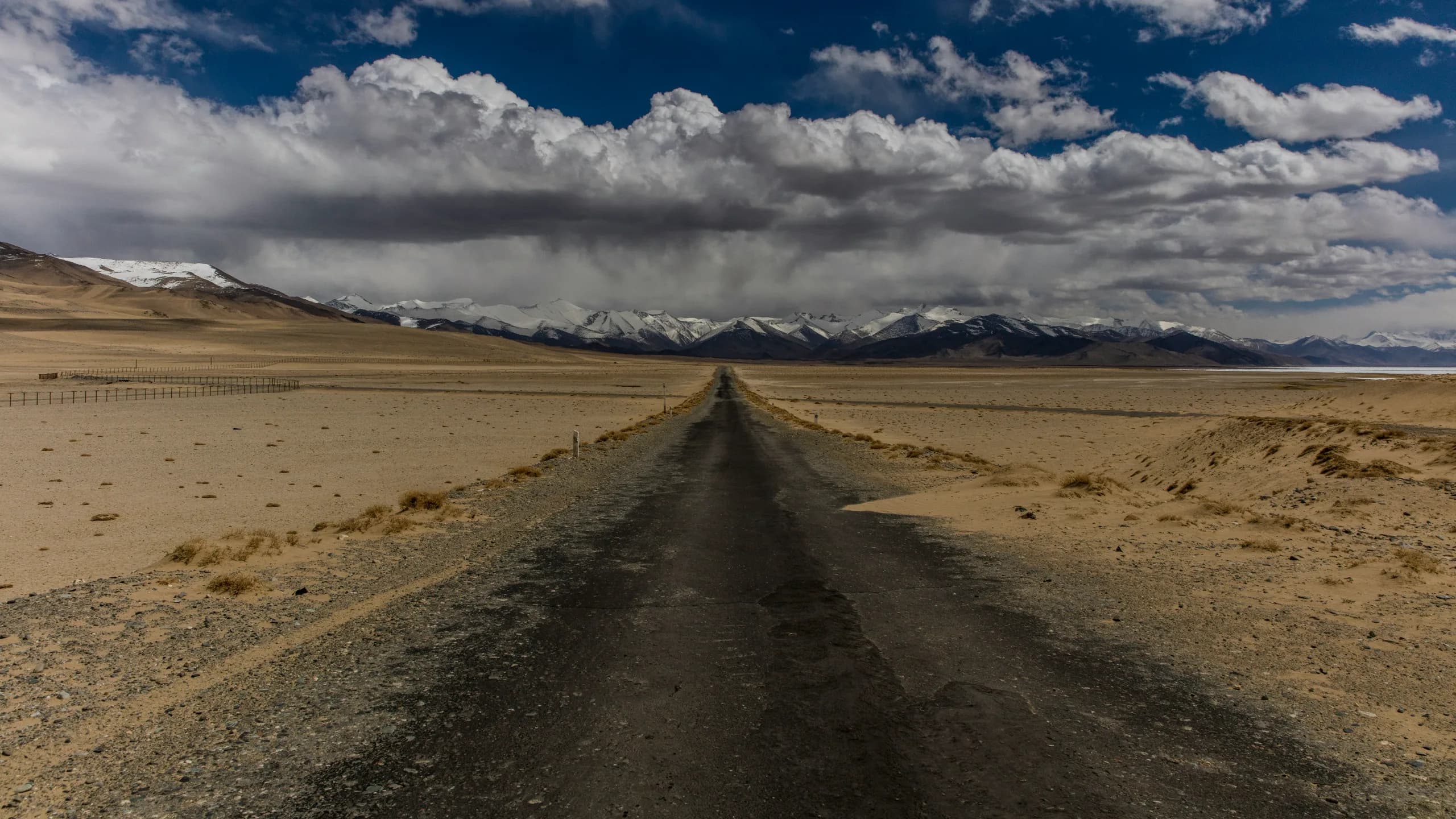
The region has long been called the Roof of the World. Its highest point is Ismoil Somoni Peak at 7,495 metres; there are several other peaks above 7,000 metres and dozens above 6,000. But what sets the Pamirs apart isn't only the height of the peaks: much of the region consists of broad plateaus at 3,000–4,500 metres — a landscape closer to Tibet than to the Alps.
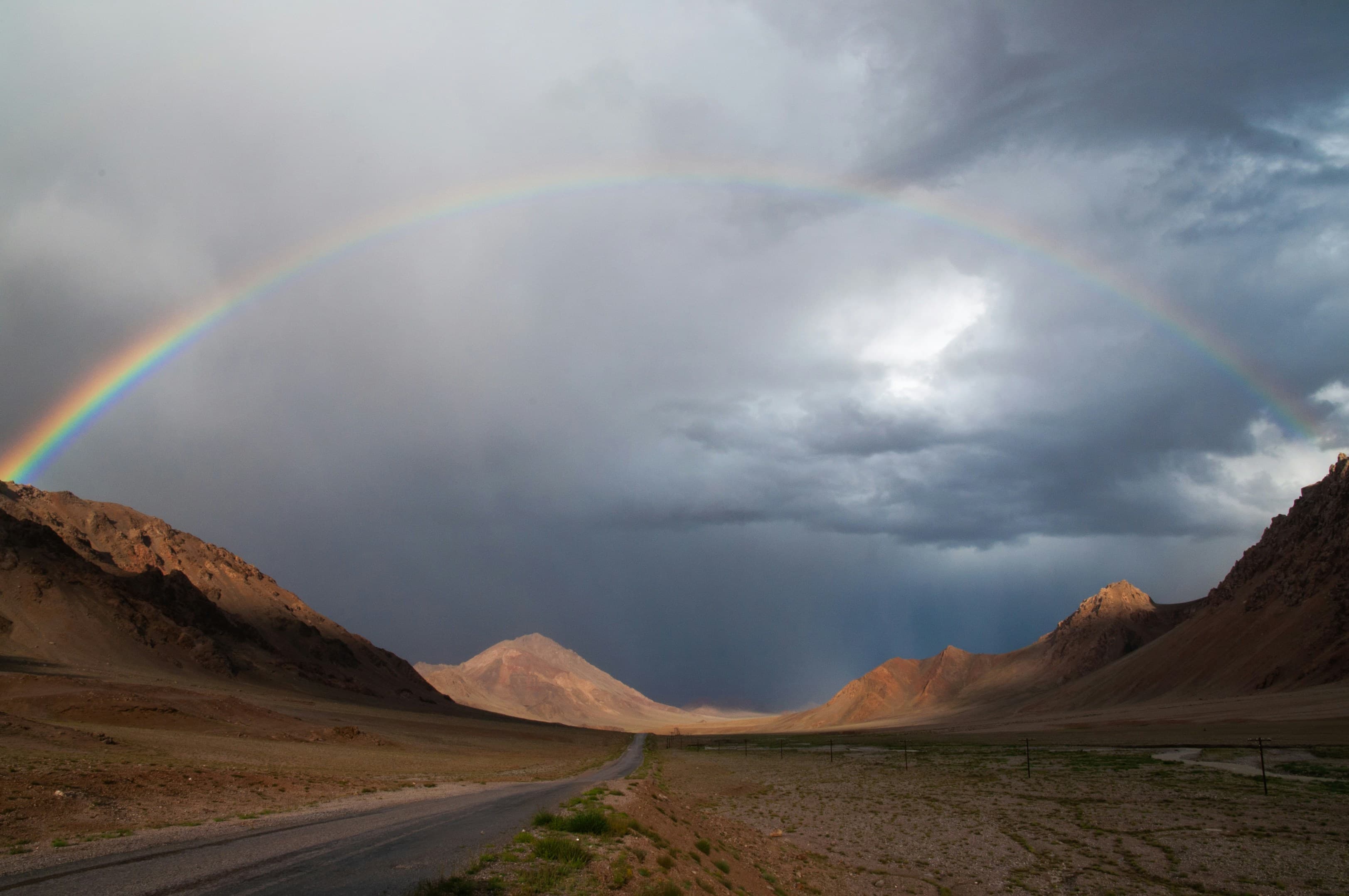
The Pamir Highway (M41) runs through the region — the second highest international road in the world after the Karakoram Highway. It crosses passes above 4,600 metres and follows the Afghan border.
The Pamirs are also a world apart culturally. People here speak Pamiri languages, distinct from Tajik, and most are Ismaili Muslims. The region's isolation has helped preserve traditions that have long disappeared elsewhere.
Travelling to the Pamirs requires a GBAO permit — if you travel with us, we arrange it for you. The best time to visit is June to September; outside this period, the high mountain passes are usually closed by snow.

Choose a route by duration, difficulty, and travel style.
The Wakhan Valley, high-altitude lakes and the Ak-Baital Pass — a route through the most remote region of Tajikistan.
On request
View TourTell us your travel dates, group size, and preferred travel style — we'll help you find the right route.